The Colouring In Tour was born when we were looking at the GPS tracks we had of some of our rides. There are a number of roads that we have ridden but not tracked, and a few roads that we hadn’t yet ridden. Using this as a guide, we plotted a route from the top of the North Island to the bottom of the South Island via as many roads that we hadn’t tracked as possible. 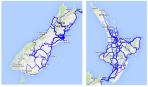
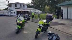
Day 1: Paihia, Bay of Islands to Warkworth via Matauri Bay and the Rawene Forest
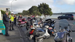
Collecting bikes, ready to set off
Day 2: Warkworth to Taupo via Sh16, Highway 22, Pirongia
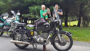
Some comedy running repairs on the old BMW (see the augmented centrestand?)
Day 3: Taupo to Wellington via Napier and an extended lap of the Wairarapa
(a minor navigational error put us in Pongaroa when we should be much further south by then)
Day 4: Picton to Punakaiki via Motueka and the Moutere Highway
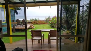
We were glad to get into our motel early and enjoy the storm from a dry vantage point!
Day 5: Punakaiki to Wanaka
A couple of flooded roads to navigate, but otherwise a fabulous scenic run on dry roads. Love that run alongside Lake Wanaka and Lake Hawea!
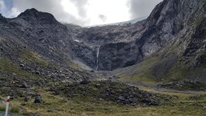
We planned this as a short day, but the weather was fine, we were all in good spirits and Milford Sound was calling!
